|
| BEN LAWERS SUMMIT |
 |
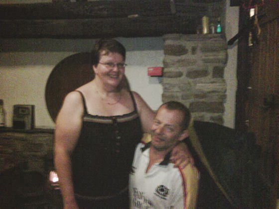
| MATHIEU AT BRAVEHEART BACKPACKERS HOSTEL |
 |
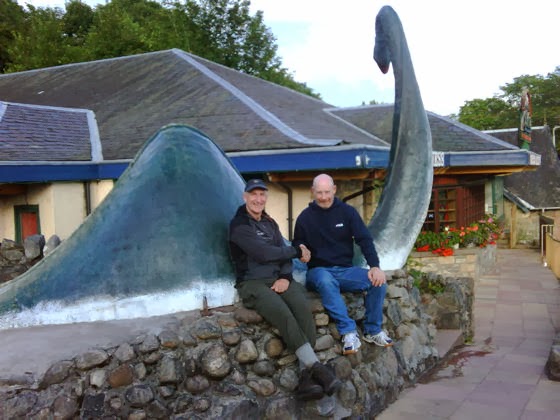
| FALLS OF DOCHART AT KILLIN |
 |
| RAILWAY PATH - TRY LIMBOING UNDER THIS IN A RUCKSACK |
 |
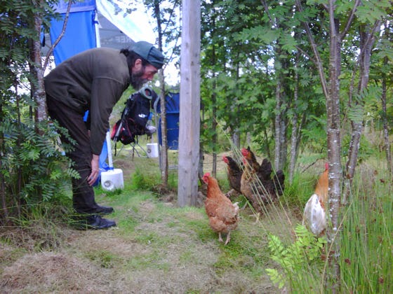
| WATCH ME WAGGLE MY EARS - DONKEY HUMOUR |
Anticipation of the
Ben Lawers climb and the coldness of the concrete-floored Visitor Centre got me
out of my sleeping bag early. Breakfast comprised of some chocolate
marshmallows I had bought in Bridge of Gaur, washed down with stream-water tea.
I had brought a lightweight day sack with me and packed it with the usual
hill-walking essentials: spare clothing, navigational aids, food and water,
first aid kit, etc. With my main rucksack secreted behind a display stand at
the Centre, I started the ascent.
It was 8.00am
Sunday, and two couples had arrived in cars to undertake the climb themselves
that day. Without the impediment of my usual weighty load I moved fast and was
soon above them. My ascent was to be via the 3,619 foot summit of Beinn Ghlas,
nearby. Once I had penetrated the cloud-base, visibility was greatly reduced,
and it was eerily silent as I walked alone along the ridge that connected the
two mountains. All this changed when, after a final steep climb, I reached the
3,983 foot summit of Ben Lawers. The bitterly cold wind was easily powerful
enough to knock me onto my knees. After taking a photograph of the trig point
and its companion cairn, I made my way back down via a more gentle path that
contours around Beinn Ghlas. I was down by 11.00am so the whole event had taken
just 3 hours, which included time spent chatting to other walkers.
The subsequent road
walk to Killin was probably more hazardous, but I was courteous enough to wave
to drivers who made obvious attempts to avoid me. In Killin I discovered the
Braveheart Backpackers Hostel, supervised by Frenchman Mathieu, who was using
the job as a means to improve his language skills.
My right leg was
hurting again, this time at the front; probably a shin-splint. My right calf
had also been suffering mild pain for few days, but I concluded that it was
merely jealous of the attention the left one, now better, had received.
Ignoring these injuries, I decided to continue walking the next day.
The fine weather of
Sunday 2 did not continue into the Monday, so it was wet gear all the way. I
started late because of diary-writing duties, and then made a navigational
error that cost me an hour. As on Saturday last, I had to cross over a mountain
between two path ends, but the mountain was lower, the distance was shorter and
I was now more experienced. My navigation was spot-on, and I was on the outward
path within an hour. It was starting to get late, so I tried to short-circuit a
hairpin in the path only to discover that its purpose was to avoid a ridge,
which I then felt compelled to climb down. My legs complained at this and, as
it was nearly 9.00pm, I decided to camp at the southern end of Loch Lednock.
It's no fun pitching a tent in the pouring rain.
It's even less fun
packing it away in the pouring rain next morning, after having to put all
yesterday's wet clothes back on again. My son, David, has joined the
Territorial Army, so will have plenty of this to look forward to.
Initially, I headed
for Comrie to buy some more food. I then attempted to find the path that
follows the disused railway line which, I thought, would take me into Crieff. I
quickly found out that the rules about footpaths I learned earlier still apply
in a semi-urban environment. Just because a path is shown on the map, don't
assume that you can follow it. Yes, the old railway line did exist, but parts
of it were now private land and other parts were impassable because of foliage
or because bridges over streams had gone. After bashing on for 3 hours, in
which time I covered only 3 miles, I gave up and found myself a maintained path
which enabled me to cover the next 3 miles in just 1 hour. This was in spite of
my injured legs which, to an observer, would have probably made me look like a
prime candidate for John Cleese's Ministry of Silly Walks, for those old enough
to remember the sketch.
Crieff looked
interesting, and I will put it on my list of places to visit in the future, but
the walk from Comrie had taken longer than expected, so I continued on
southwards to Muthill (pronounced Mooth-ill), which involved a walk alongside
the A822. I thought that its straightness might make it safer, but car speeds
were inevitably higher and drivers could now line me up in their sights
earlier.
Since Crieff to
Muthill had taken me one and a half hours, I thought that the similar distance
from Muthill to Blackford would take similar time, getting me there by 8.00pm.
Big mistake! The rule about paths and maps kicked in again. In fact, I found
rather more paths than the map said which served to confuse even more. However,
the state of most of the paths was dreadful, being overgrown, hard to recognise
and with little signposting. One section took me though a field occupied by a
large bull with huge, very sharp looking horns. He lifted his tail and started
stomping his feet when he saw me, thinking perhaps that I was interested in his
two attendant cows. I gave him a very wide berth, putting on an act of
nonchalance as I walked briskly to the exit gate.
A new golf-course
development had totally obliterated the final mile of footpaths into Blackford.
My patience snapped at this point. I climbed over the gate and walked straight
across it to arrive, completely shot-away, at the reception desk of the
Blackford Hotel. It was 9.30pm, so at least I got a late booking discount.
Shot-away later turned out to be quite an apt description of my physical state
as the golf course developers apparently have a habit of shooting blanks above
the heads of trespassers.